
Pacifica Neighbor Record Layers
A block lookup works when each source is assigned a narrow question. GIS shows parcel geometry and adjacent APNs. The deed index shows recorded title parties. Planning and permits show public work or an application. Civic organizations show voluntary contacts or events. Voter files can include geographic fields only for approved requesters and purposes. The coverage table keeps those layers from becoming one unsupported neighbor list.
| Source | What it shows about a block | Access |
|---|---|---|
| GIS adjacent parcels | Boundaries, situs addresses, APNs, ZIP, city, and district overlays | Free county viewer |
| Recorded deed index | Title parties and instruments tied to a parcel reference | 1985-present name search; older reference or counter |
| Assessor and recorded maps | Lot, block, subdivision, parcel, survey, and map continuity | Free finding aids; official copies separately |
| Permit and planning files | Project address, applicant, agent, work, stage, or hearing trail | Public portals and focused request |
| Voter file | Approved-purpose residence and precinct fields | Controlled requester; protected voters omitted |
| Civic organizations | Public events, contact leads, and voluntary community ties | Incomplete group-controlled information |
Neighbors can mean adjacent parcels, people in a community, or a household close by. A Pacifica neighbors search must state which meaning is intended because the public records answer only some of them.
Map Parcels Around Pacifica Address
Start with a known address in the San Mateo County Property Information Portal. Zoom until the target parcel and surrounding polygons are visible. Click each adjacent lot, record its APN and situs, and open assessor, subdivision, parcel, or recorded-map references. Add ZIP Codes, City Boundaries, precincts, and district layers to understand the block's civic geography.
The county service supports parcel geometry, coordinates, pagination, distance queries at the service level, and a 2,000-feature maximum. The research did not verify a consumer-facing radius button or exact buffer control. Do not promise that a map will create a ready-made list of everyone within a number of feet. A careful block lookup is a small, recorded set of adjacent APNs.
- Search the target street address and save APN, situs, city, ZIP, and legal-map references.
- Zoom to the parcel boundary and select the lots that share a boundary or sit directly across the street.
- Record each neighboring APN and address before opening a deed or city file.
- Compare city and ZIP layers so a postal label is not mistaken for the city line.
- Stop at the parcel evidence when the question shifts from land to a specific person.
For Pacifica neighbors, the full named-street chain belongs in the Pacifica street directory; this page keeps the focus on the immediate block.
Open Pacifica Parcel Records
Once adjacent APNs are recorded, use the county assessor maps and RecorderWorks to inspect the land trail. A deed can show grantor, grantee, recording date, document number, APN, and legal description. It may identify a recorded owner or other party, but it cannot establish who is present at the parcel. The Tax Collector's bill can corroborate an APN and mailing route, yet it is not occupancy proof.
San Mateo County's real-estate-fraud alert service is a useful reminder to treat unexpected recorded instruments as transaction evidence. Compare a questionable result with the official instrument and custodian, not with an informal neighbor list.
Read the San Mateo County real-estate fraud alert before relying on a deed-related result.
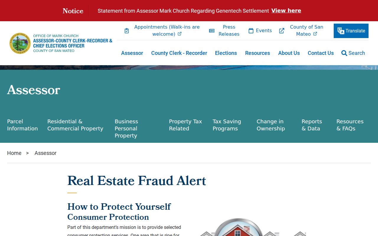
The source-linked image belongs with the recorded-document caution. It does not turn the parcel viewer into a current people directory or prove who the neighbors are.
- APN
- A nine-digit assessor parcel number used to connect maps and property records.
- Record owner
- A party named in a recorded title instrument, not necessarily an occupant.
- Adjacent parcel
- A lot selected from the map based on boundary or block position.
- Situs
- The physical address of the land represented by the parcel.
Separate Pacifica Ownership and Occupancy
The most common error in a neighbor lookup is treating the deed grantee as the whole household. Owners may have a different mailing address. A parcel can have several grantees. A person connected with a permit may be an applicant, agent, contractor, or architect. Household members, visitors, and people who occupy a parcel without holding title are not captured by the same record.
Use the claim that the source can support. A deed can answer who held a recorded interest. A map can answer which parcels touch. A census, historical directory, obituary, or community story can add a dated household clue. None should be republished as a current block census.
| Claim | Best source | What remains uncertain |
|---|---|---|
| Which lots are next to the address? | County GIS and recorded maps | Boundary interpretation and map date |
| Who is named in a title record? | RecorderWorks and official copy | Occupancy and current status |
| What work occurred nearby? | Permit or planning file | Household identity and final project outcome |
| Which group is active nearby? | City organizations page or group contact | Membership completeness and residence |
This separation keeps a Pacifica neighbors lookup grounded in the block rather than in assumptions about who belongs there. It also gives neighbors a clear way to correct a parcel mistake without asking a city office to identify a household.
Pacifica Block Voter Rules
California My Voter Status authenticates an individual to that person's own registration record. It is not a public tool for typing a Pacifica street and browsing registered neighbors. Election Code section 2194 and related regulations limit voter-file access to qualified election, scholarly, journalistic, political, or governmental purposes. A state or county request must identify the requester, beneficiary, permissible purpose, security duties, and other required information.
Approved products can include residence or mailing address, precinct, registration date, party, status, and participation fields to the extent recorded. Driver license data, last four Social Security digits, unique identifiers, and signatures are excluded. Confidential voters are omitted. The confidentiality rule is set out in Government Code section 7924.000. A purpose-approved file cannot be casually copied into a block directory.
County Elections identifies 40 Tower Road, San Mateo, and 650-312-5222 for election questions. Use the state voter-file request rules or the county custodian when the request is legitimately within the permitted category.
Add Pacifica Permits to the Block
City records can show what changed on a parcel or what public review occurred nearby. The active planning applications table can identify an address, application type, review stage, project identity, and hearing trail. The Building Division portal supports address selection, project type, valuation, area, description, notes, and plans where applicable. Historical online coverage was not stated, so older block questions may need NextRequest.
Pacifica's public-records portal asks for an existing record, address or parcel clue, date range, and department. Search prior released requests first. An account is prompted on the first request, and released documents or messages remain connected to the request. A public project file can explain a fence, addition, subdivision, or road issue, but it does not establish who lives at each neighboring parcel.
Use the city request route at Pacifica NextRequest. A focused request can help neighbors understand an existing public project file without turning the request into a person search.
The source shows the records-request path. Ask for an existing permit, planning file, or correspondence record rather than asking the city to name every neighbor.
Find the Named Pacifica Neighborhood
Pacifica's official neighborhood list includes Fairmont, Edgemar, Pacific Manor, Westview or Pacific Highlands, Sharp Park, Fairway Park, Vallemar, Rockaway Beach, Linda Mar, Park Pacifica, and Pedro Point. The labels reflect different development histories and street forms. A block lookup should retain the official name and the current street address, because older records may use a railway stop, tract, valley, or beach label instead.
Sharp Park's grid and narrow lots differ from Pedro Point hillside parcels. Vallemar's wooded roads and surviving railway context differ from postwar Linda Mar tracts. That geography changes how many adjacent polygons appear and which map or directory term is useful. Use the City of Pacifica neighborhood descriptions as geographic context, not as a resident roster.
A neighborhood name helps a searcher ask the archive a better question. It does not establish that a person belonged to the neighborhood at a particular date.
Use Pacifica Civic Associations
Pacifica's organizations page lists public leads such as the Pacifica Historical Society, Chamber, Lions, Moose, Rotary, VFW Post 10245, Coastside Masonic Lodge 762, Oceana High alumni registry, Pacifica Beach Coalition, and other community groups. Pedro Point Community Association publishes a mission and events. These sources can support a reunion, neighborhood-history, or civic question, but voluntary membership does not enumerate every resident or prove an address.
Pacifica Historical Society
History, photographs, oral histories
Coastside Museum research lead
Pedro Point Community Association
Community mission and events
Voluntary neighborhood lead
Oceana High Alumni Registry
Reunion and class research lead
Not a residence roll
Contact or event information can point to a person, place, or date. Pacifica neighbors may share a civic group without sharing a parcel, so verify the connection through a dated archive or custodian before treating it as a neighbor fact.
Official Rolls and Commercial Neighbor Tools Differ
Official sources have a defined custodian, record type, and access rule. Commercial neighbor tools may combine public, licensed, and marketing data, charge for results, merge people with similar names, or retain old addresses. Neither category should be treated as a complete block census. The comparison below gives the practical distinction without recommending a vendor.
| Route | Strength | Limit |
|---|---|---|
| County GIS and deed index | Traceable parcel and recorded-party source | Does not establish all occupants |
| City permit or planning file | Dated address and project evidence | Applicant is not a household list |
| Approved voter-file request | Defined fields under purpose rules | Not a casual block browse; protected voters omitted |
| Commercial compilation | May combine many data types | Cost, stale data, merged identities, uncertain authority |
When the official route ends, record that limit. A smaller, sourced block map is more reliable than an expansive list that cannot say where its names came from.
Pacifica Neighbor Privacy Boundaries
California privacy law protects parts of the block that maps cannot show. Safe at Home offers eligible survivors and qualifying household members a substitute mailing address. Voter files are purpose-controlled. DMV home address and phone data, Social Security numbers, medical information, signatures, utility customers, delivery records, and many household relationships are outside a public neighbor directory.
California privacy rights and the DROP deletion system can apply to qualifying data brokers. Those rights do not require a recorder, court, or city to erase a lawful public record. The California registry background page also explains that a public registry has a defined scope, not a complete neighborhood list. If a parcel result is wrong, contact the assessor or recorder. If a city file is wrong, contact the City Clerk or department. If a person record is protected, stop at the lawful boundary.
The California Attorney General's privacy guide explains the consumer rights framework.
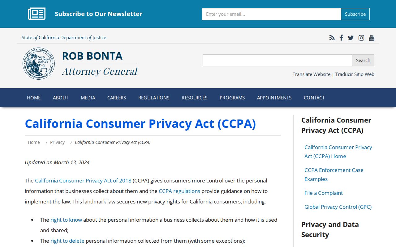
The state guide concerns qualifying businesses and personal-data rights. It is not a reason to publish a block list.
California's DROP route is described at privacy.ca.gov/drop.
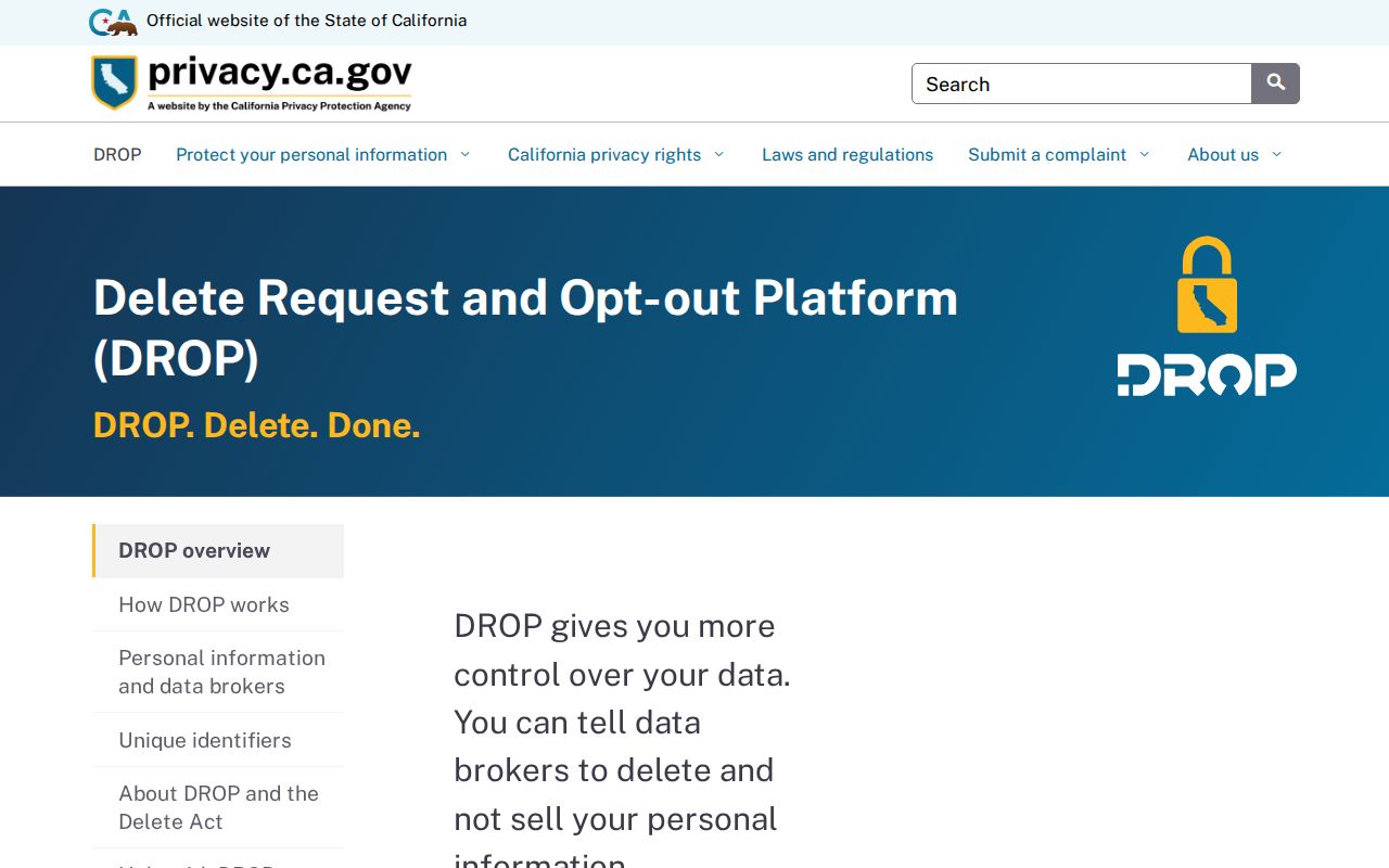
DROP began recurring broker deletion processing in August 2026 and is separate from official county or court records.
Lawful use. Use a Pacifica neighbor lookup for parcel research, community history, civic understanding, or a respectful personal purpose. Do not use address or person information to stalk, harass, intimidate, or harm anyone.