
Start a Pacifica Street Directory
The most reliable street-by-street method moves from a known address to a stable parcel identifier, then to records that use the same land reference. A county map can show an APN and legal map even when a street name has changed. RecorderWorks can connect a grantee to a deed, but it does not show every occupant. Permit and planning records describe work or an application. Historical directories, if a verified local run is found, can add an address-first household clue.
Use the workflow in order. Save the exact result at each step, including date and record type. A common surname should never be joined to a Pacifica parcel from spelling alone.
- Enter the street address in the San Mateo County Property Information Portal and save the APN, situs, map reference, and city boundary.
- Open the assessor, subdivision, parcel, or survey map and note the lot shape and adjacent APNs.
- Search RecorderWorks for the latest grantee, then compare the deed's APN or legal description.
- Check the current permit and active planning tables for public project, applicant, or hearing evidence at that address.
- Use a verified reverse directory, census schedule, newspaper, or narrow records request for a past household question.
The result is an address record trail, not a promise that the record owner is the person who lives there today.
Search Pacifica Property Maps
The San Mateo County assessor-map instructions give the address-first route: choose Find parcels by ADDRESS, enter the address, select Search, and open the Assessor Map or the available recorded maps. APN mode accepts nine digits without dashes. The map is the bridge between a street label and a parcel, especially when a record uses a subdivision or lot reference instead of the modern postal form.
The county map workflow can supply assessor, subdivision, parcel, and recorded-map references. Official printed copies are available from the Recorder counter for a fee, while the online finding aid is free. Use the address result to capture the APN and legal description before switching to a name index.
The assessor map screen is represented by the source-linked Pacifica street directory image below.
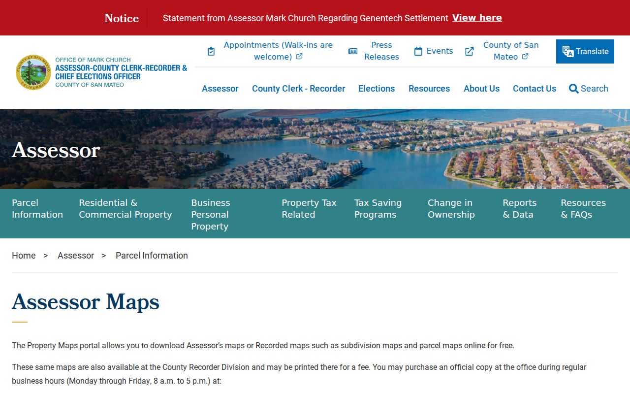
A map can locate a parcel without proving who occupies it. Treat the image and the live portal as search aids, then verify any ownership claim in the recorded instrument.
| Find parcels by address | Enter the street address, search, and select the parcel result. |
|---|---|
| Find parcels by APN | Use the nine-digit APN with no dashes. |
| Assessor Map | Open the linked assessor map from the parcel result. |
| Available recorded maps | Follow subdivision, parcel, or survey references through volume/page or book/page. |
Browse the Pacifica Street Grid
The San Mateo County GIS hub links the Property Information Portal and the county's map services. Active Parcels, ZIP Codes, City Boundaries, election precincts, legislative and supervisor districts, tax-rate areas, subdivision maps, parcel maps, records of survey, corner records, assessor maps, and contours can be layered around a Pacifica address. Adjacent polygon selection lets a researcher click nearby lots and save their APNs.
GIS supports pagination, a distance query at the service level, and a 2,000-feature maximum. The exact consumer button for a radius search was not verified, so a street directory should not promise a one-click neighbor list. Zoom to the target, inspect the visible polygons, and record the address and APN for each parcel instead.
The county GIS page supplies the context for the image below.
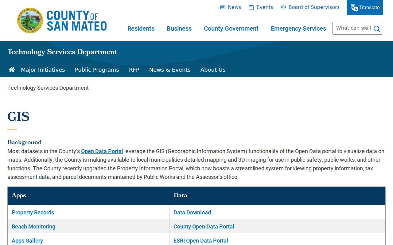
A street directory built from parcel geometry is strongest when it names the map layer and date used. It is weaker when it treats a visual boundary as proof of a resident relationship.
Read Pacifica Address Types
Four address terms carry different weight. The situs is the physical place. The mailing address is a delivery or tax correspondence route and can sit in another city or at a post office box. The deed's legal description is the recorded land identity. A street directory entry, by contrast, is a dated printed or digital clue about a person associated with an address. Keeping the terms separate prevents an APN from being mistaken for a household list.
- Parcel
- A mapped unit of land with an APN, polygon, and legal description.
- Situs address
- The physical location of the parcel, not necessarily the owner's mailing route.
- Plat or recorded map
- A map that describes lots, blocks, subdivisions, or survey relationships.
- Criss-cross directory
- An address-first directory that may show a printed occupant or subscriber when a local run exists.
Research should carry the legal description through the deed chain. If a street label is unfamiliar, use lot, block, subdivision, and APN continuity before assuming the property moved or the street was renamed.
Pacifica Street Records by Address
A street directory is assembled from record sets with different custodians and different proof. The county GIS and assessor maps identify land. RecorderWorks identifies parties to recorded instruments. Pacifica's permit and planning systems identify public projects. Voter data is purpose-controlled and cannot be browsed casually by street. Reverse directories remain a historical lead because exact Pacifica publishers and runs were not verified.
| Record set | Keeper | Street evidence | Access |
|---|---|---|---|
| Parcel and GIS layer | County GIS / Assessor | APN, situs, geometry, ZIP, city, districts, adjacent lots | Free address or APN viewer |
| Grant deeds and liens | ACRE Recorder | Grantors, grantees, instruments, legal parcel references | Free index; copies separately ordered |
| Building permit | Pacifica Building Division | Work description, applicant, documents, status where public | Public portal or request |
| Planning entitlement | Pacifica Planning Division | Address, application type, applicant, review and hearing trail | Live table and public files |
| Voter file | California and San Mateo Elections | Approved-purpose residence and precinct fields | Controlled request, no street browse |
| Reverse directory | Library or archive if located | Printed address-to-occupant clue | Ask for title, publisher, year, and key |
Use the record set that matches the claim. A parcel result answers where land is. A deed answers who held a recorded interest. A permit answers what work was filed. None alone answers who is present at every hour.
Trace Pacifica Deeds Street by Street
RecorderWorks provides free name searching for San Mateo County property documents from 1985 to the present. Search a current grantee in LAST FIRST format, use partial matching when needed, and narrow with a date range. Open the Grant Deed rather than relying on a shortened tax-bill line. Capture the grantor, grantees, recording date, document number, APN, and legal description. Then search the seller as an earlier grantee and test the same land references.
Document type filters can separate Grant Deed, Deed of Trust, liens and releases, and maps. The index does not display document images. For pre-1985 work, a known document number or recording date can retrieve an older record online; otherwise public terminals and deed books at 555 County Center in Redwood City are the fallback. A certified copy comes from the office, not from a screenshot.
The Recorder Division's grantor-grantee instructions explain the free index and office-terminal alternative. Current office hours, phones, and email routes are maintained on the ACRE contact page. The record trail itself must be checked against APN or legal description because a common name can belong to several properties.
Research tip. The latest grant-deed grantees are safer than an abbreviated tax-bill owner line when a street record has multiple title parties.
Pacifica Permits by Street
Pacifica's address evidence desk is the Building Division. Its public permit system can start a new application without registration, uses an address-selection link, and asks for project type, valuation, area of work, short description, notes, and plans when applicable. The public instructions describe review of a common application as taking three to four weeks and resubmittal review as two to three weeks. Historical online coverage was not stated, so an older street question may need a request.
The GreenVue public lookup, the current building portal, the active planning applications table, and a targeted NextRequest each cover a different part of the trail. Planning rows can show an address, application type, review stage, project identity, and public-hearing path. These records identify an applicant or project, not the complete people at a parcel.
The Pacifica permit lookup that supports this address route is linked below.
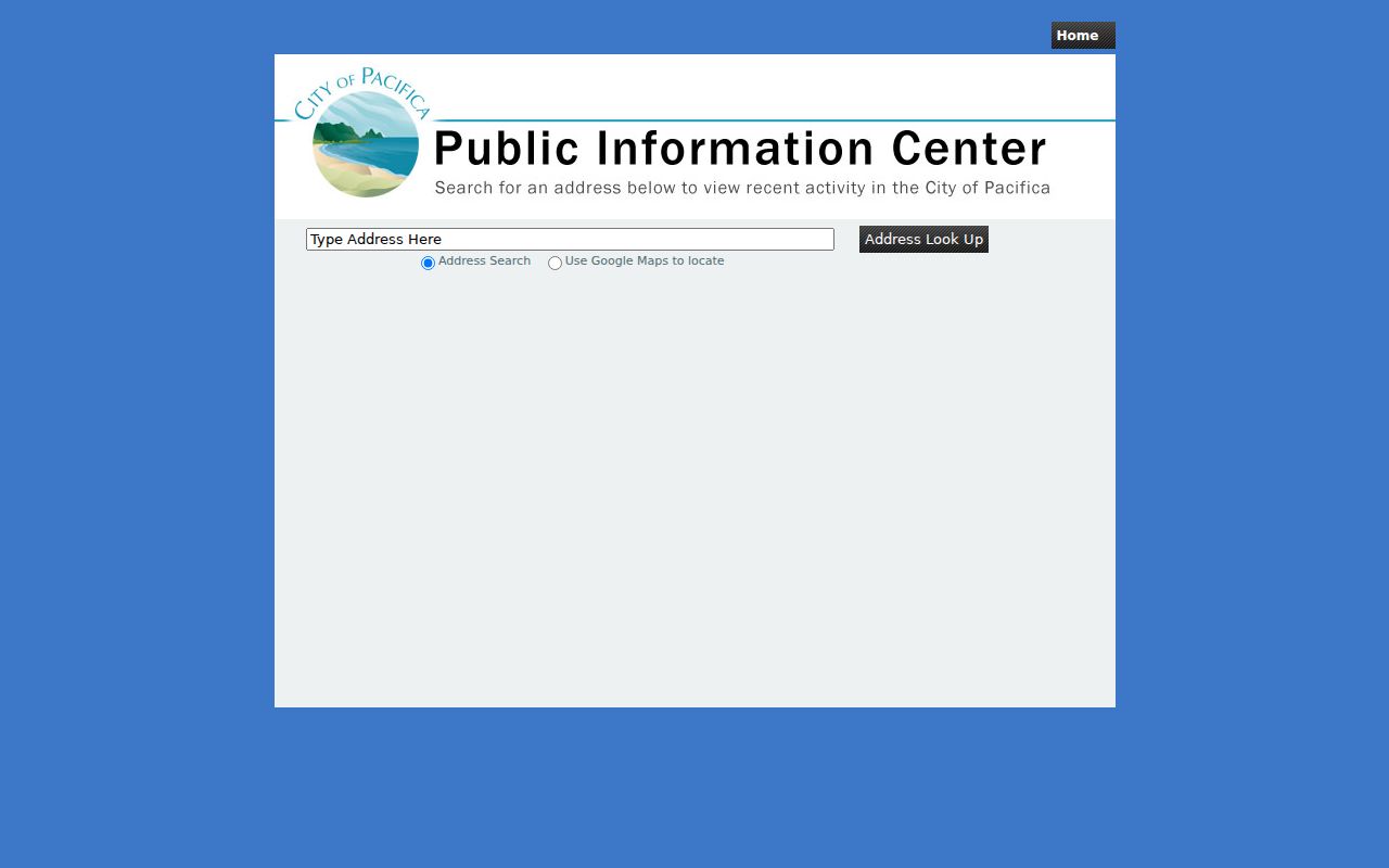
Use the permit evidence to date a remodel or identify a project file. Do not convert an applicant name into a claim about residence.
| Address selection | Choose the portal's blue address link rather than typing a free-form address when the form directs that workflow. |
|---|---|
| Project type | Select from the permit list that matches the work. |
| Project detail | Valuation, area, short description, notes, and plans where applicable. |
| Planning row | Application type, stage, address, and public-hearing trail when the matter is listed. |
For a public incident file, Pacifica Police requires an involved-party request and government identification. The police records route uses a form, mail, or counter process and is separate from a household directory. The city's staff directory is an official service-contact list, not a resident roll.
Pacifica's Street Shapes Matter
A Pacifica street directory does not work the same way in every neighborhood. West Sharp Park has a grid and narrow lots. Pedro Point, Vallemar, and Rockaway use irregular valley or hillside roads. Fairmont, Westview, Fairway Park, and parts of Linda Mar use postwar tract lots and curved streets. Later Linda Mar and Park Pacifica areas have lower-density suburban patterns. The map view, parcel shape, and legal map become more important as the street form gets less regular.
That geography also explains why a place name in an old record may differ from the modern city label. Pacifica combined separate coastal communities, and records before incorporation may use railway stops or subdivision names. Search Sharp Park, Salada Beach, Rockaway, Vallemar, Pedro Point, and San Pedro Valley when a modern street query produces a gap.
A street directory is strongest when it treats the map as evidence of land continuity and the historical label as a search variant, not when it forces every older entry into one modern address.
Pacifica Reverse Directory Gaps
Address-first or criss-cross directories could connect a street to an occupant for a printed year, but the official research did not verify exact Pacifica publishers, coverage years, or a searchable local run. Do not fabricate an entry's spouse, occupation, ownership/occupancy mark, or abbreviation key. Ask Pacifica Historical Society, San Mateo County Historical Association, Sharp Park Library, or Sanchez Library to confirm a title and year, then inspect the volume's key before drawing a conclusion.
When a verified run is found, record the title, publisher, year, street spelling, address, name, and any notation exactly as printed. Pair it with a census year, a Pacifica Tribune notice, a deed, or a probate record. The historical shelf belongs to the Pacifica city directory collections page; the street directory uses it only as an address clue.
Because a reverse directory can omit households, a missing entry is not proof that no one lived at the address. Publication lag, a move, a changed community name, and uneven coverage all create gaps.
Pacifica Street Directory Limits
Public address records do not form a complete household list. A deed identifies record title parties. The property map identifies the parcel. A permit identifies a project and its public participants. Voter files are purpose-controlled, and confidential voters are omitted. DMV home addresses and phone data, utility customer records, delivery information, and many household relationships are not public directory fields.
California Safe at Home can shield eligible survivors and qualifying household members with a substitute mailing address. The state privacy and data-broker deletion systems do not require a recorder or court to erase a lawful record. If a result looks wrong, return to the custodian: ACRE for a deed, the assessor for a parcel question, the city for a permit, or Elections for an authorized file issue.
Lawful use. Pacifica street and address records support personal, lawful research. California Penal Code sections 646.9 and 653.2 address stalking, repeated harassment, and harmful publication of identifying information. Do not use a street directory to stalk, harass, intimidate, or harm a person.